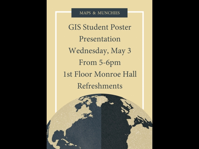
Our first Environmental GIS (Geographic Information Systems) Student Poster Presentation.
Come talk maps, geography, and environmental geospatial analysis with the Environment Program's GIS class.
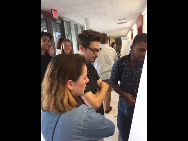
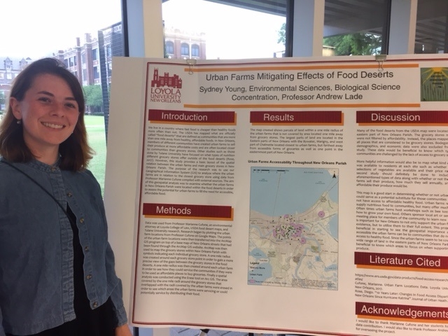
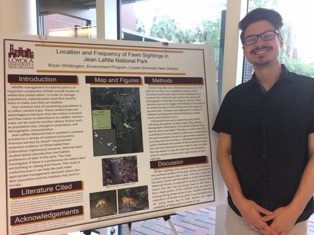
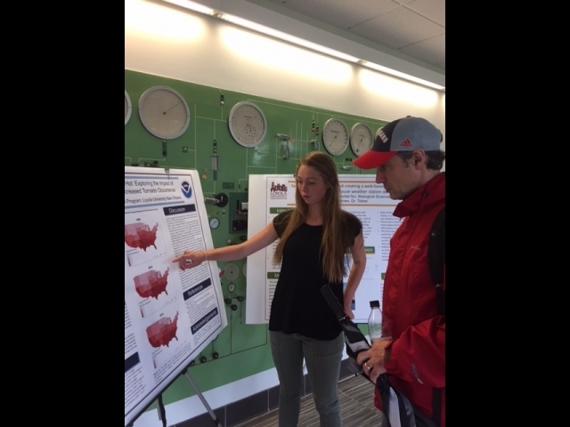
The GIS students presented their posters on Wednesday, May 3, 2017 on the first floor of Monroe Hall from 5:00- 6:00 PM. Check out the Maps and Munchies event photo gallery.