This semester the Environment Program taught a course ... Mapping and Geospatial Technologies (Loyola Core). This is a perfect course for any student in any major who wants to learn about maps and how to map just about any dataset.
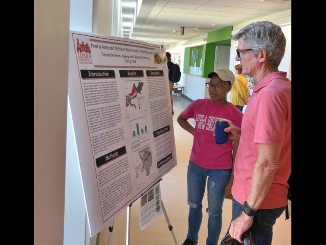
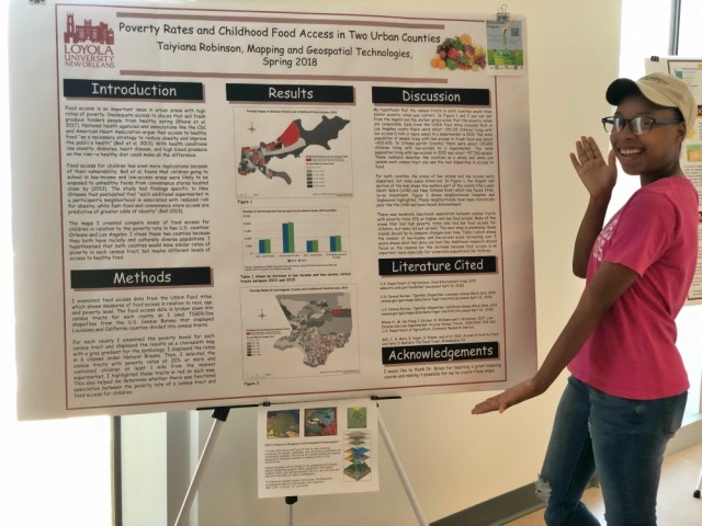
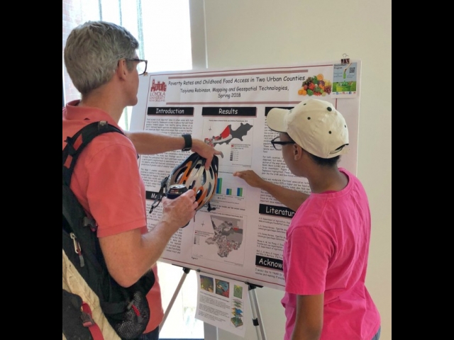
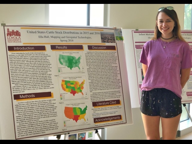
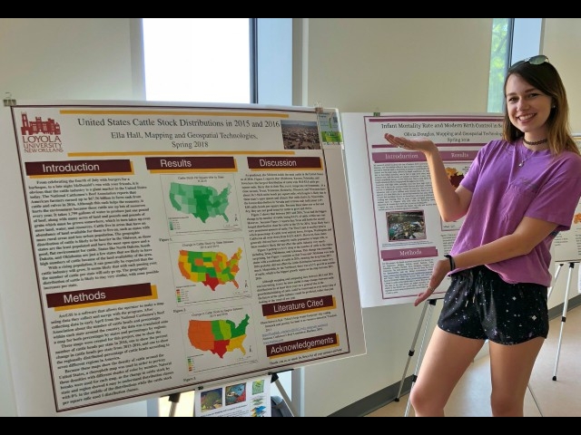
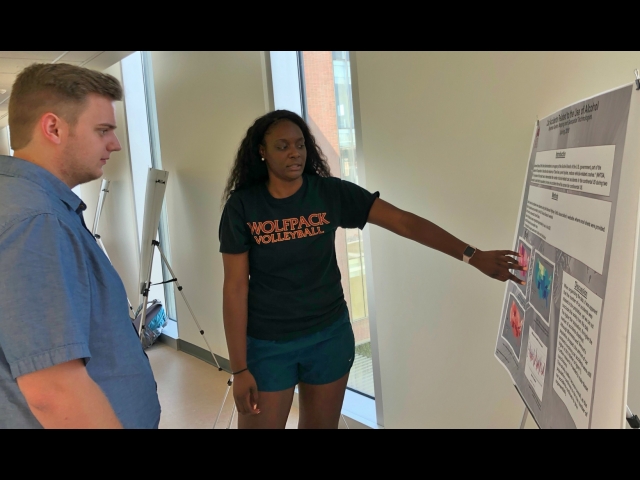
The posters will be available for any students, faculty, staff to walk by and view for a week, but tomorrow, Thursday, May 3rd some of the student authors and Dr. Lynn Brien will be there to talk about their experiences from 10 am to noon.